Written and reviewed by Rice Design Alliance Editorial Team.
On January 15, 1983, Los Angeles officially renamed Santa Barbara Avenue as Martin Luther King Jr. Boulevard. The designation brought long-sought recognition to the city’s Black community — and also triggered business resistance and litigation that, according to historian Tawny Paul’s account in the American Historical Review, reached the California Supreme Court. That single street captures the dilemma U.S. cities face as factories close, rail corridors rust, and waterfronts are remade: renaming a street, park, or district is never only about memory. It reshapes addresses, emergency dispatch maps, property records, and the marketable identity of a neighborhood all at once. This guide pairs the critical-memory scholarship on naming with the actual municipal machinery — petitions, hearings, GIS updates, signage standards — so planners, policymakers, and researchers can evaluate renaming proposals with both symbolic and operational clarity.
What Is Post-Industrial Urban Toponymy and Critical Memory?
Post-industrial urban toponymy examines how cities shaped by deindustrialization name and rename streets, parks, and infrastructure during redevelopment. Guided by critical toponymy, planners and communities analyze how place names encode historical power, racialized memory, and capital investment while navigating municipal laws to achieve restorative recognition or place branding.
Toponymy is simply the study and practice of naming places. Critical toponymy goes further, treating names not as neutral labels but as active sites where memory, identity, and power are negotiated. As Alderman and Rose-Redwood (2020) argue, renaming debates are also questions of procedural justice: who gets to propose a name, whose objection counts, and whose history survives the process matter as much as the final inscription on the sign.
Why do post-industrial cities rename so often? Because deindustrialization loosens the meanings that held a civic landscape together. A street honoring an industrialist, a park built on a rail yard, a neighborhood known by its foundry — each becomes available for reinterpretation when the economic order that produced it disappears. Renaming can serve restorative recognition for communities excluded from the older commemorative landscape, or it can serve place branding that repackages a district for investors. Often it does both at once, which is why these fights become so heated.
One caution for U.S. readers: much of the foundational reception research comes from post-socialist Europe. Crețan and Matthews’s 2016 study of Timișoara, Romania, for example, documents how residents kept using old street names out of habit and practicality long after official changes. Those findings about vernacular adoption travel well; the legal context does not. Romania’s renaming regime has no bearing on U.S. municipal law, where authority is strictly local and procedures vary city by city. Keep the theoretical insight, discard any assumption of a shared rulebook.
This dual nature — names as carriers of memory and names as municipal data — structures everything that follows. A successful renaming project has to survive both a public argument about history and a quiet synchronization of databases most residents never see.
Official Address Changes vs. Symbolic and Honorary Naming
The single most common confusion in renaming debates is treating every new sign as a legal address change. It isn’t. The District of Columbia draws the distinction cleanly: under D.C. Code Title 9, Chapter 2, an “official name” is the legal designation used for mailing and official purposes, while a “symbolic name” is ceremonial and subordinate to the official name. A symbolic co-naming honors a person or cause without forcing a single property owner to change stationery, deeds, or emergency-service records.
Jacksonville illustrates the heavier end of the spectrum. Its public street renaming handout states that an official name change applies to the entire contiguous length of the street and causes affected properties to be readdressed. That’s a fundamentally different intervention from bolting an honorary blade beneath an existing sign.
Parks, plazas, bridges, and buildings sit in yet another category. Tacoma’s naming policy applies one framework to city-owned buildings, bridges, parks, open spaces, trails, rights-of-way, and streets — but renaming a park doesn’t readdress anyone, because parks aren’t address-bearing frontage. Neighborhood branding is looser still: it may have no legal effect at all while exerting enormous cultural and commercial influence.
| Type | Legal effect | Readdressing burden | Signage implications | Typical authority |
|---|---|---|---|---|
| Official street renaming | Replaces legal address-bearing name | All abutting properties readdressed | Full sign replacement per traffic standards | City council under local code |
| Symbolic/honorary co-naming | Ceremonial; subordinate to official name | None | Supplemental honorary blade | Council resolution or administrative act |
| Facility/park naming | Changes name of a city asset | None (no address frontage) | Site signage and wayfinding | Parks agency or council policy |
| Neighborhood branding | None by itself | None | Marketing materials, gateway signs | Varied; often public-private |
Before advocating any public space renaming, ask which row of this table you’re actually in. Many bitter fights dissolve once participants realize an honorary designation could deliver the recognition they want without imposing readdressing costs on small businesses — or, conversely, that only a full official change will achieve the accountability they seek.
Place Branding, Adaptive Reuse, and Symbolic Displacement
Naming in post-industrial cities rarely happens in a vacuum. It usually accompanies physical regeneration — rail-to-trail conversions, brownfield cleanups, waterfront redevelopment — and that pairing is where naming does its most ambiguous work. A new name can welcome a neighborhood into a shared civic future, or it can function as marketing copy that announces the neighborhood is now meant for someone else.
The EPA frames the stakes plainly: brownfield redevelopment can turn abandoned or potentially contaminated sites into parks, plazas, mixed-use developments, homes, or businesses, though remediation adds cost and complexity. When a remediated industrial site also receives a fresh identity, the name does double duty — signaling environmental recovery to the public and signaling investability to capital. Whether existing residents experience that as renewal or erasure depends heavily on whether they helped choose the name and whether they can afford to stay under it.
This is why adaptive reuse public spaces deserve separate analysis from pure street renaming. A trail conversion changes the physical environment first; the branding follows. A neighborhood rebranding campaign can invert that sequence, changing the symbolic environment while leaving physical conditions — and existing residents’ tenure — untouched and increasingly precarious.
Neighborhood Rebranding and Toponymic Commodification
David J. Madden’s study of Brooklyn, Pushed off the Map (2018), documents how real-estate and state actors deployed new neighborhood names to attract investment to a deindustrializing area. Long-term residents — particularly public-housing tenants — experienced the rebranding as symbolic displacement: the map itself seemed to announce they no longer belonged, even before any lease was lost. The finding is case-specific, but it gives planners a documented basis for asking who a new name is actually for.
Infrastructure Reuse and Brownfield Park Naming
Chicago’s 606 shows the other pattern. The Chicago Park District describes it as the elevated Bloomingdale Trail connected to four ground-level neighborhood parks, with planning dating to the late 1990s and the overarching name unveiled in June 2013; the trail runs 2.7 miles with 12 access points and 17 accessible ramps. In Connecticut, the EPA’s Meriden Green case study recounts how a 14-acre former industrial and commercial site became a park completed in 2016, integrating cleanup with flood-adaptation infrastructure. Here, naming accompanied material transformation rather than substituting for it.
The takeaway isn’t that branding is bad and bricks are good. It’s that urban regeneration claims should be tested against physical evidence: Was contamination actually remediated? Did flood control materialize? Who gained access, and who was priced out as the new identity took hold?
Restorative Commemoration, Compromise, and Public Resistance
The sharpest renaming conflicts involve names tied to racism, colonialism, or exploitation. Supporters frame replacement as restorative memory work — an effort to repair whose history the civic landscape honors. Opponents typically avoid defending the old honoree directly and instead invoke practicality: address changes, business costs, confusion, tradition.
The scholarly literature treats this friction as diagnostic rather than incidental. Brasher, Alderman, and Subanthore’s analysis of Tulsa’s Brady Street shows how “practicality” arguments from business interests shaped a compromise that changed the honoree’s attribution while keeping a familiar name on the street — a move that reduced administrative disruption but, the authors argue, limited the restorative potential of the change. Paul’s Los Angeles research shows the reverse dynamic: a full replacement that achieved recognition while generating genuine material conflict and litigation.
Neither outcome is a template. What the cases share is a lesson about staged decisions: a partial fix may quiet the immediate controversy while leaving the underlying harm unaddressed, only to be revisited years later.
Staged Compromises vs. Full Replacement in Tulsa and Los Angeles
Where Los Angeles enacted an immediate full replacement of Santa Barbara Avenue in January 1983 despite fierce business resistance and litigation, Tulsa moved in stages: a 2013 compromise converted Brady Street to M.B. Brady Street and designated the downtown portion Reconciliation Way; the city’s June 2019 agenda records the subsequent change from Mathew Brady Street to Reconciliation Way, effective December 1, 2019. Six years separated the compromise from the fuller replacement — evidence that renaming is often a process, not an event.
Does removing a name erase history? Only if the city treats the sign as the whole archive. Retired names can persist in historical markers, interpretive text, dual signage, and museum collections — approaches detailed in the implementation section below. The legal name on the map and the historical record of the city are not the same artifact, and conflating them is what makes these debates feel zero-sum when they needn’t be.
How U.S. Municipal Naming Policies Work Across Jurisdictions
Here is the fact that reorganizes most renaming debates: there is no federal or universal U.S. street-renaming rule. Authority rests with local governments, and municipal naming policies vary enormously in who may propose a change, what consent is required, how long an honoree must be deceased, and whether a partial-street change is even allowed. Anyone citing one city’s procedure as national practice is wrong.
Jacksonville and Portland offer a well-documented contrast. Jacksonville’s process sends two written consent requests to affected property owners, requires 75% approval to proceed, and runs roughly three to five months with two public hearings, per its public street renaming handout. Portland’s Code Chapter 17.93, amended effective March 6, 2026, requires a proposed honoree to be a real person deceased at least five years, generally requires a street to keep one name its entire length, and demands either at least 2,500 signatures from legal city residents or signatures from at least 75% of abutting property owners, followed by historian review, neighborhood notification, a postcard survey, a budget-impact statement, a public hearing, and council action.
Continuity rules matter more than most advocates expect. Both cities favor whole-street changes because fragmented names confuse addressing and emergency response. When Portland considered renaming only the segment of SW Jackson Street between SW Fifth and SW Park Avenues to SW Rose Hill Street — and honoring a living person — the 2026 proposal required explicit council waivers, with the matter listed for a November 12 council agenda as of November 9, 2026 rather than shown as a final change. Exceptions exist, but they require legislative action, not administrative discretion.
Consent Thresholds, Nonresponse Bias, and Segment Waivers
The equity question hides inside consent mechanics. Jacksonville counts a 60-day nonresponse as support toward its 75% threshold — a design that favors organized proponents and penalizes owners who miss, misunderstand, or distrust the mailing. Portland substitutes a historian panel, postcard survey, and legislative waivers, as its 2026 segment and living-honoree exceptions show. Neither design is neutral; each decides whose silence counts and whose participation the process actually reaches.
Practical implication: before drafting a petition, pull the current code, application form, and any pending ordinances for your specific city. These documents change — Jacksonville’s handout was created in May 2026, and Portland’s code was amended that same year — so date-stamp everything you rely on.
Technical Implementation: Addressing, GIS, 911, Signage, and Archives
A council vote is the midpoint of a renaming, not the end. What follows is a synchronization exercise across systems that update on different schedules and answer to different authorities. A realistic sequence looks like this:
- Adopt and record the ordinance, including any waivers and the effective date.
- Reassign addresses for affected properties through the municipal addressing authority and issue official address-change notices.
- Update municipal GIS and 911/CAD systems so dispatch, fire, and emergency mapping reflect the legal name before field signs change (in Jacksonville, for example, new street signs are typically posted about 30 days after official address assignment).
- Notify USPS so postal records align with standardized formats under USPS Publication 28 (effective October 2024) — an addressing standard, not a renaming procedure.
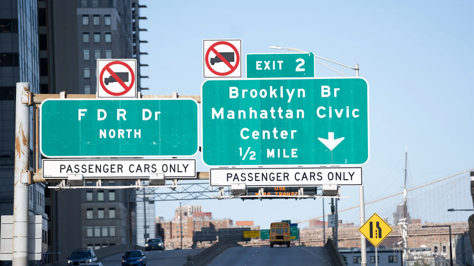
- Fabricate and install signage consistent with the applicable roadway authority’s standards, using the FHWA MUTCD 11th Edition with Revision 1 (December 2025) as the national baseline.
- Coordinate mapping providers and federal records, understanding their limits.
- Archive the former name through retained signage, markers, or interpretation.
That sixth step trips people up. The U.S. Board on Geographic Names and GNIS standardize geographic names for federal use, but BGN decisions don’t bind local governments, state maps, or private navigation companies. Federal records, municipal GIS, and commercial maps are separate systems with separate update cycles — expect a lag during which the old and new names coexist across platforms.
Multi-Agency Synchronization and Archival Preservation
D.C.’s statute is the most complete public checklist available: implementing an official name change requires updates to emergency, transportation, technology, map, and wayfinding records; notification to USPS and relevant entities; new signage; and transfer of at least one retired sign to archival custody. Tacoma’s process adds that official roadway renamings take effect six months after council adoption — a built-in transition window — while Resolution 41009 asks applicants to plan interpretive actions alongside maps, photographs, and outreach records. The old name becomes part of the implementation plan rather than a loose end.
Decision and Evaluation Framework for Civic Renaming Projects
Choosing among full readdressing, symbolic co-naming, and physical reuse with interpretation comes down to four questions. First, what is the actual harm or goal — exclusion from the commemorative landscape, an unusable industrial site, or an outdated address? Second, who bears the cost? Third, can the old name be preserved interpretively? Fourth, how will you know it worked?
On costs and outreach scale, Portland’s 2026 SW Jackson proposal is unusually transparent: alongside 2,937 collected petition signatures (2,546 from Portland residents), the record lists a $5,900 application fee, $514.84 in postcard mailings to 513 recipients, and an estimated $3,983 for signs and installation — before counting the burden on residents and businesses updating checks, websites, licenses, and delivery instructions. Tacoma’s interpretive-planning requirement suggests the reciprocal investment: budget for markers, art, or programming that explains what changed and why.
For measuring success, track vernacular adoption (are residents and dispatchers actually using the new name?), wayfinding reliability, address-update completion, business compliance burden, and displacement indicators in the surrounding blocks. Approval night is a headline; these metrics are the outcome.
Three takeaways hold across every case here. Naming authority in the U.S. is strictly local, so the code — not the controversy — defines what’s possible. Official readdressing and honorary naming are different tools with different costs, and choosing between them is itself a policy decision. And renaming succeeds or fails in the years after the vote, in databases, signposts, and everyday speech. Your next step: pull your city’s current naming ordinance and application form, date-stamp them, and map which row of the taxonomy table your proposal actually occupies before filing anything.